Last Updated on May 1, 2023 by BVN
S. E. Williams
Although the fire currently burning in a rugged and remote area of the San Bernardino mountains is minor when compared to some of the major conflagrations the State of California has experienced in recent years, it certainly serves to let us know the 2023 wildfire season is here.
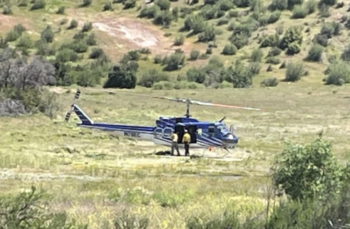
The Nob Fire erupted on April 26 northwest of Lytle Creek and south of Wrightwood. It continues to burn (up to 227 acres through April 28 when it was 49% contained).The good news is because of the fire is burning in such a remote area, no structures are threatened.
This year’s wet winter was certainly good news in relation to the relentless drought but experts have advised this doesn’t mean we can put our guard down relative to wildfires.
The 2023 fire season is expected to be “near to slightly above the historical averages,” according to Accuweather forecasters who also predict the possibility of between 60,000 to 75,000 wildfires that may burn 6.5 million to 8.25 million acres of land. This is close to the average 68,707 fires and 7,000,514 acres experienced annually between 2001 and 2020.
Fire experts also predict that between April and June, the wildfire threat statewide will be very low but the threat may gradually increase as we move further into summer when weather typically stays warmer longer and fuels that feed wildfires, including branches and trees knocked down by winds and rains from the winter storms, dry out and become fodder for potentially prolific wildfires.
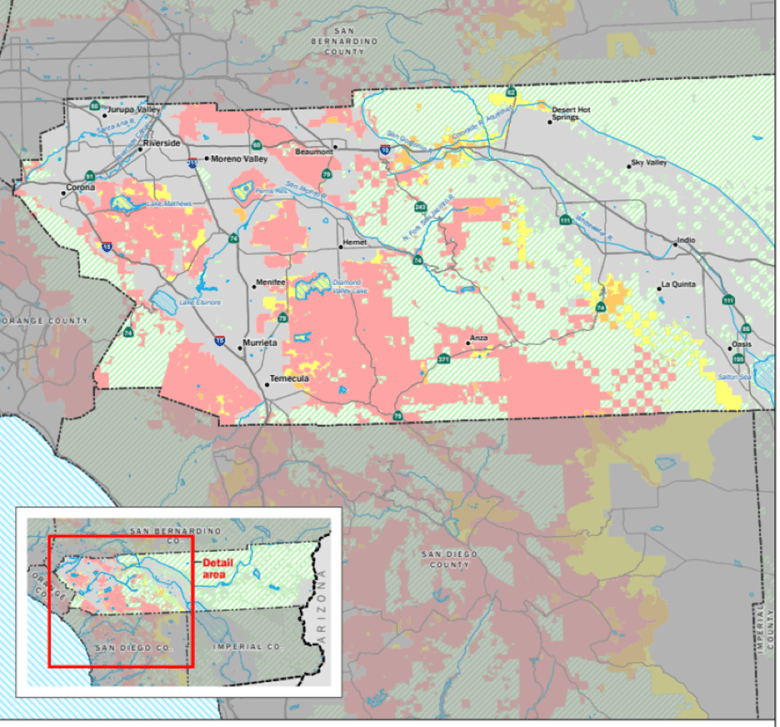
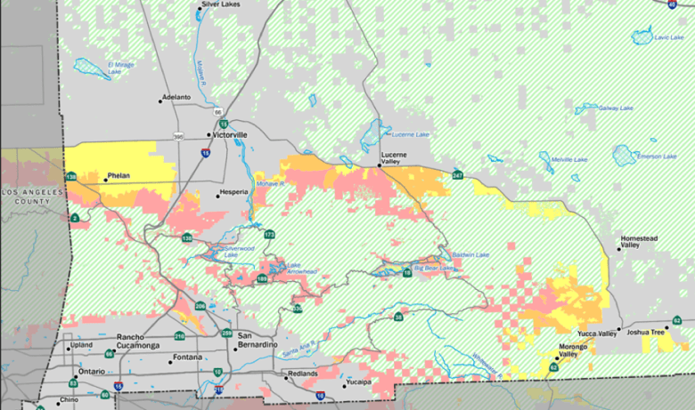
The California office of the State Fire Marshall has produced a series of maps depicting Fire Hazard Severity Zones. The maps for Riverside and San Bernardino Counties are pictured here. Although the definition of “Hazard” is based on the physical conditions that create a likelihood and expected fire behavior over a 30 to 50-year period and although the assessment does not consider mitigation measures, it is important to know where your place of residence sits in relation to the red zones identified on these maps.
Fire Hazard Severity Zones in Riverside and San Bernardino Counties


There are also parts of the inland region that lie within what is considered Wildland Urban interface areas that according to the National Center for Biotechnology Information, “warrant more attention during the wildfire season.”
Follow this link for more information on Wildfire Severity Zones and follow this link to learn how to prepare for wildfire season.
With the world’s continuously changing climate and the devastating impacts of wildfires in the state in recent years, it is more important than ever that we know the wildfire risks in our community and be prepared in case of emergency. This includes having an exit route in case it’s needed.
Of course this is just my opinion. I’m keeping it real.


